

FREE DELIVERY ON ORDERS OVER £25
ALWAYS UP TO 70% OFF RRP
SIGN UP FOR OFFERS AND EXCLUSIVES
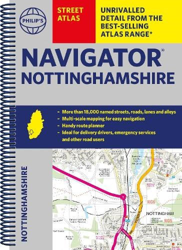
Philip's Navigator Street Atlas Nottinghamshire: Spiral Edition (Spiral-bound)
Philip's Maps (Author)
- £4.00
-
£16.99 - £4.00
- Unit price
- per
Save £12.99
Please hurry! Only 1 left in stock
10 customers are viewing this product
Couldn't load pickup availability
Free Shipping
Free standard shipping on orders over £25
Same day dispatch.
Free Returns
Learn More.

- Publisher: Philip's
- ISBN: 9781849076418
- Pages: 272
- Weight: 0.58
Philip’s Maps is the UK's leading brand for maps covering all your needs: Road Maps and Atlases, Street Maps of the UK's key regions; World Atlases and School Atlases. The Philip's Navigator atlases are the best-selling road atlases of Britain, with special emphasis on the professional driver. In fact, 94% of truckers who bought a road atlas bought Philip's . Philips' market-leading Europe atlases were the choice of over half of all buyers in 2017. Philip's also publishes a wide range of street atlases - many of which are the only ones available which show every market street in some of Britain's most visited counties. Many Philip's county street atlases are the only ones to show every street in the area. And Philip's School Atlases have an edition for every Key Stage.
Related Products
Example product title
- £4.00
-
£16.99 - £4.00
- Unit price
- per
Save £12.99
Example product title
- £4.00
-
£16.99 - £4.00
- Unit price
- per
Save £12.99
Example product title
- £4.00
-
£16.99 - £4.00
- Unit price
- per
Save £12.99
Example product title
- £4.00
-
£16.99 - £4.00
- Unit price
- per
Save £12.99
Example product title
- £4.00
-
£16.99 - £4.00
- Unit price
- per
Save £12.99
Example product title
- £4.00
-
£16.99 - £4.00
- Unit price
- per
Save £12.99
Example product title
- £4.00
-
£16.99 - £4.00
- Unit price
- per
Save £12.99
Example product title
- £4.00
-
£16.99 - £4.00
- Unit price
- per
Save £12.99
Example product title
- £4.00
-
£16.99 - £4.00
- Unit price
- per
Save £12.99
Example product title
- £4.00
-
£16.99 - £4.00
- Unit price
- per
Save £12.99
Recently Viewed Products
Example product title
- £4.00
-
£16.99 - £4.00
- Unit price
- per
Save £12.99
Example product title
- £4.00
-
£16.99 - £4.00
- Unit price
- per
Save £12.99
Example product title
- £4.00
-
£16.99 - £4.00
- Unit price
- per
Save £12.99
Example product title
- £4.00
-
£16.99 - £4.00
- Unit price
- per
Save £12.99
Example product title
- £4.00
-
£16.99 - £4.00
- Unit price
- per
Save £12.99
Example product title
- £4.00
-
£16.99 - £4.00
- Unit price
- per
Save £12.99
Example product title
- £4.00
-
£16.99 - £4.00
- Unit price
- per
Save £12.99
Example product title
- £4.00
-
£16.99 - £4.00
- Unit price
- per
Save £12.99
Example product title
- £4.00
-
£16.99 - £4.00
- Unit price
- per
Save £12.99
Example product title
- £4.00
-
£16.99 - £4.00
- Unit price
- per
Save £12.99
- Choosing a selection results in a full page refresh.